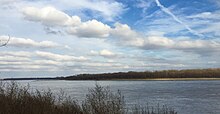
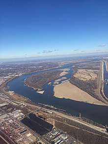
Mosenthein Island


Mosenthein Island, situated approximately eight miles (13 km) due north of the
bottomland forest.[2] It is only accessible by boat.[1][2] It is a popular spot to camp and canoe.[3]
References
- ^ a b c "Economic Development - Enterprise Zone Details". City of Madison, Illinois. Archived from the original on 2017-02-22. Retrieved 2017-02-22.
- ^ a b c "Hunter Fact Sheets". Illinois DNR. 2017-02-22. Retrieved 2017-02-22.
- ^ "River Log". The Rivergator. Retrieved 2022-04-07.
38°43′21″N 90°12′06″W / 38.72250°N 90.20167°W
