
Sulzkogel
| Sulzkogel | |
|---|---|
Tyrol
| |
Stubaier Alpen | |
| Geology | |
| Mountain type | Felsgipfel |
| Type of rock | Gneiss |
| Climbing | |
| First ascent | 1878 Pock/Tütscher |
| Normal route | from Kühtai through the Finstertal valley |
The Sulzkogel is a mountain, 3,016
Topography
The Sulzkogel lies about 3.5 kilometres south of the winter sports resort of Kühtai. To the west a sharp arête drops away from the summit of the Sulzkogel into the valley of Längental, separating the cirques of Mittagskar in the northwest and Stierkar in the south. To the northeast below the steep northeast face and east arête lies the Finstertal valley and the Finstertalspeicher, a reservoir belonging to the Sellrain-Silz Power Station. To the north along a sharp arête are the Mittagsturm pinnacle (2,929 m (AA)), the twin peaks of the Mittagsköpfe (2,895 m (AA) and 2,934 m (AA)) and the Zwölferkogel (2,988 m (AA)). To the south is the Gamskogel (2,965 m (AA)). Between the Sulzkogel and the Gamskogel below a wide rocky ridge lies the Gamskogelferner, a glacier that descends to an elevation of 2,700 m (AA).
Paths
The
Literature
- Heinrich; Walter Klier (1980), ISBN 3-7633-1212-9
Gallery
-
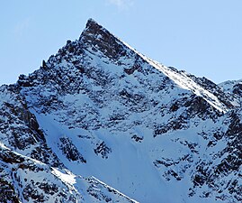
 The Sulzkogel from the northeast
 -
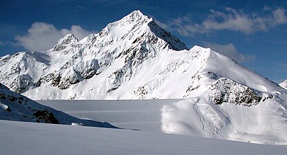
 From the northwest
 -
 Sulzkogel (left) and Zwölferkogel behind the dam of the Finstertalspeicher
 -
 From the west


References
- ^ Axel Jentzsch-Rabl. "Sulzkogel von Kühtai". bergsteigen.com. Retrieved 13 January 2009.
External links
 Media related to Sulzkogel at Wikimedia Commons