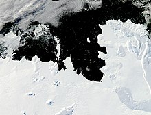
Walgreen Coast

The Walgreen Coast (75°30′S 107°0′W / 75.500°S 107.000°W) is a portion of the coast of
US Antarctic Service (USAS) by flights from the USS Bear
during February 1940.
The Walgreen Coast was named by Byrd after
U.S. Navy
air photographs, 1959–66.
It contains Thwaites Glacier, also known as the "Doomsday Glacier", for its major contributions to sea level rise as a result of climate change.
See also
- Wright Pass
References
![]() This article incorporates public domain material from "Walgreen Coast". Geographic Names Information System. United States Geological Survey.
This article incorporates public domain material from "Walgreen Coast". Geographic Names Information System. United States Geological Survey.
