Elizabeth Island (Victoria)
| Elizabeth Island Victoria | |
|---|---|
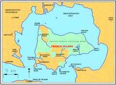
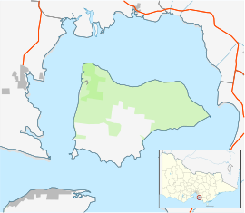
Location off French Island | |
| Coordinates | 38°25′0.48″S 145°22′8.4″E / 38.4168000°S 145.369000°E |

Elizabeth Island lies just south of
unincorporated area[1] of Victoria, one of the few privately owned, freehold islands in Victoria. Once used for farming, it has been converted into a holiday retreat, with the establishment of a pier
and housing facilities. Access is via boat, barge or helicopter.
Environment
The island rises to about 20 metres (66 feet)
mangroves
, sandstone, larger rocks, and some small areas of sand. There are a number of rock pools. The southern part of the island provides constant deep-water access and is close to a deep-water channel where various sea life is found. The island has direct access to Westernport Bay. There is a small rocky peninsula on the south eastern corner of the island, with mangroves and grasses. This area becomes separated at high tide.
History
The island bears the remnants of a shipwreck on its western beach, believed to be the rescue boat off a German ship. A former owner crashed his aeroplane on French Island attempting to view Elizabeth Island, having recently purchased it in a bar.
References
- ^ "Map of local council wards in Victoria, prepared by the Australian Electoral Commission". Retrieved 2013-01-03.

