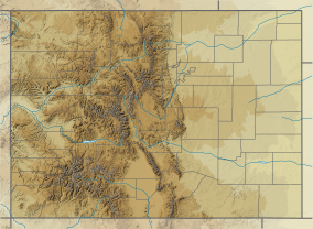
Fossil Ridge Wilderness
| Fossil Ridge Wilderness | |
|---|---|
wilderness area)[1] | |
 Henry Mountain and Square Top Mountain in the Fossil Ridge Wilderness. | |
| Location | Gunnison County , Colorado, USA |
| Nearest city | Gunnison, CO |
| Coordinates | 38°41′00″N 106°38′00″W / 38.68333°N 106.63333°W[2] |
| Area | 13,992 acres (56.62 km2) |
| Established | 1993 |
| Governing body | U.S. Forest Service |
The Fossil Ridge Wilderness is a
References
- ^ Protected Planet Website- Retrieved April 17, 2023
- ^ "Fossil Ridge Wilderness". Geographic Names Information System. United States Geological Survey, United States Department of the Interior. Retrieved August 10, 2012.
- ^ "Fossil Ridge Wilderness". Wilderness.net. Retrieved May 31, 2021.
- ^ "Fossil Ridge Wilderness". U.S. Forest Service. Retrieved May 31, 2021.
- ^ "Fossil Ridge Wilderness". Colorado Wilderness. Retrieved August 10, 2012.
- ^ Prather, Thomas (1999). Geology of the Gunnison Country (Second ed.). Gunnison, Colorado: B & B Printers.
- ^ "Geologic and aeromagnetic maps of the Fossil Ridge area and vicinity, Gunnison County, Colorado". United States Geological Survey. Retrieved November 1, 2014.
External links
 Media related to Fossil Ridge Wilderness at Wikimedia Commons


