Śniardwy
| Śniardwy | |
|---|---|
 Śniardwy in Niedźwiedzi Róg | |
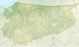
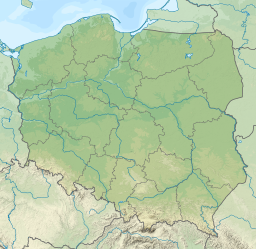
| Location | Masurian Lake District |
| Coordinates | 53°46′N 21°45′E / 53.767°N 21.750°E |
| Type | Glacial lake |
| Basin countries | Poland |
| Max. length | 22.1 km (13.7 mi) |
| Max. width | 13.4 km (8.3 mi) |
| Surface area | 113.8 km2 (43.9 sq mi) |
| Average depth | 6.5 m (21 ft) |
| Max. depth | 23 m (75 ft) |
| Water volume | 0.65 km3 (530,000 acre⋅ft) |
| Surface elevation | 117 m (384 ft) |
| Islands | 8 |
Śniardwy (
Warmian-Masurian Voivodeship, Poland
.
At 113.8 square kilometres (43.9 sq mi), Śniardwy is the largest lake in Poland. It was also the largest lake in Prussia and in Germany, when Warmia-Masuria was under German rule and formed the southern part of East Prussia.[2] It is 22.1 kilometres (13.7 mi) long and 13.4 kilometres (8.3 mi) wide. The maximum depth is 23 metres (75 feet). There are eight islands on the Śniardwy lake.[3]
Geography
Śniardwy was formed by
Among the many
Roś, Białoławki and Tyrkło. It is surrounded by the system of canals known as Kanały Mazurskie (Masurian Canals), with numerous sluices. Together, they form the Polish Masurian Lake District.[3]
Bibliography
- ISBN 978-3-498-00635-8.
- ^ . Encyclopædia Britannica. Vol. 8 (11th ed.). 1911.
- ^ a b c Lake Śniardwy at the International Lake Environment Committee webpage
- J. Szynkowski, Mazury. Przewodnik, Kengraf Kętrzyn, 2003


