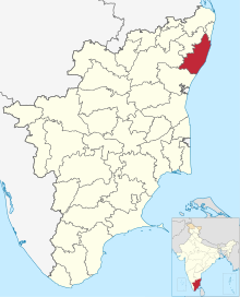
Chunampet
Chunampet is a village in the
colonial era. It is located at the southern edge of the Buckingham Canal
.
Chunampet is famous for a 19th-century
Hindu temple dedicated to Kiratamanjeswarar.[1] The temple was, till recently, in ruins, and was renovated by Arunachala Mudaliar, the erstwhile zamindar of Chunampet and his descendants.[2]
Chnampet is situated about 9 kilometres from the Bay of Bengal coast and is surrounded by salt pans extending for over seven miles.[3]
Notes
- ^ Temples of Tamilnad, Pg 209
- ^ Temples of Tamilnad, Pg xviii
- ^ Routes in the Madras presidency. Government Press. 1879. p. 487.
References
- v.m.r (2002). Temples of Tamilnadu. illeedu V.N MOORTHY RASHEELA.

