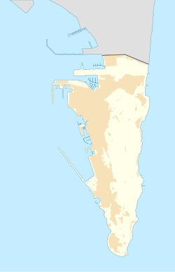
Devil's Tower (Gibraltar)
| Devil's Tower | |
|---|---|
Torre del Diablo | |
| Part of Fortifications of Gibraltar | |
| Devil's Tower Road, Gibraltar | |
 1727 plan of Devil's Tower and Mill Tower. | |
| Coordinates | 36°08′46″N 5°20′30″W / 36.146143°N 5.341701°W |
| Type | Watchtower |
| Site information | |
| Condition | Demolished |
| Site history | |
| Demolished | 1940 |
The Devil's Tower was an ancient
palaeolithic
tools. The Tower and remains, however, were unrelated.
Construction

The tower was constructed in
Noel Mason-Macfarlane on the grounds that it was in the line of fire of one of Gibraltar's many guns.[2]
Devil's Tower skull
The
Neanderthals of Gibraltar
.
Most of the lower jaw has survived, along with the frontal bone, most of the right side of the face and the left parietal bone.
Eponymy
The tower gave its name to the Devil's Tower Camp, the Devils Tower Emplacement, Devil's Tower Road and other nearby places.
References
- ^ "East side". DiscoverGibraltar.com. Archived from the original on 5 September 2013. Retrieved 26 September 2012.
- ^ Chipulina, Neville. "The People of Gibraltar". Retrieved 26 September 2012.
- ^ Garrod et al., 1928
External links
 Media related to Devil's Tower at Wikimedia Commons
- Reconstruction of the Neanderthal child's head and face

