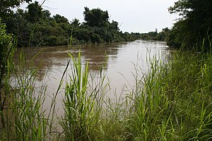
Mékrou River


The Mékrou River is a river of Benin, Burkina Faso, and Niger. It flows through the W National Park.
A tributary of the
Kouande and flows for 250 kilometers.[1] It forms part of the border between Benin and Burkina Faso and between Benin and Niger. The proposed construction of the Dyondyonga electricity dam on the river has caused concern among environmentalists[2].[citation needed
]
Notes
References
- Houngnikpo, Mathurin; Decalo, Samuel (2013). Historical Dictionary of Benin. Rowman & Littlefield. ISBN 0810871718.
12°24′00″N 2°49′00″E / 12.4°N 2.81667°E

