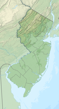
Mount No More
Appearance
| Mount No More | |
|---|---|
| Highest point | |
NGVD 29[1] | |
| Coordinates | 40°48′02″N 75°01′35″W / 40.8006542°N 75.0262841°W[2] |
| Geography | |
| Location | Warren County, New Jersey, U.S. |
| Topo map | USGS Belvidere |
| Climbing | |
| Easiest route | Hiking |
Mount No More is a mountain in the
White Township
.
References
- ^ Verified elevation from USGS topographic map Belvidere
- ^ "Mount No More". Geographic Names Information System. United States Geological Survey, United States Department of the Interior. Retrieved October 29, 2015.

