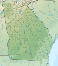
Odingsell River
Appearance
| Odingsell River | |
|---|---|
| Location | |
| Country | United States |
| State | Georgia |
| Physical characteristics | |
| Source | |
| • location | Georgia |
| Mouth | |
• location | Atlantic Ocean |
• coordinates | 31°51′34″N 81°00′24″W / 31.85939°N 81.00677°W |
• elevation | 0 ft (0 m) |
| Length | 5.7 mi (9.2 km) |
The Odingsell River is a 5.7-mile-long (9.2 km)Skidaway Island to the west, Wassaw Island to the north and east, and Little Wassaw Island to the south.[2][3]
The river most likely was named after Charles A. Odingsell.[4]
See also
References
- ^ U.S. Geological Survey. National Hydrography Dataset high-resolution flowline data. The National Map Archived 2012-03-29 at the Wayback Machine, accessed April 26, 2011
- ^ U.S. Geological Survey Geographic Names Information System: OdingsellRiver
- ^ USGS Hydrologic Unit Map - State of Georgia (1974)
- ISBN 0-915430-00-2.

