
Park Street, Boston
 Park Street, Boston, 19th-century Boston Common (at left), Massachusetts State House (at top) | |
| Location | Boston |
|---|---|
| South end | Tremont Street |
| North end | Beacon Street |
Park Street is a short but historic road in the center of
Boston Common to its west.[1]
History
Park Street was laid out in 1804, initially as Park Place, replacing the previous Sentry Street.[2]
In the 1880s, the feminist Woman's Journal was published on Park Street. Houghton Mifflin was also headquartered here beginning in the late 19th century.[3]
Gallery
-
 Park St., c. 1815; Park Street Church (at right), Hancock mansion (in distance across Common, at upper left)
 -
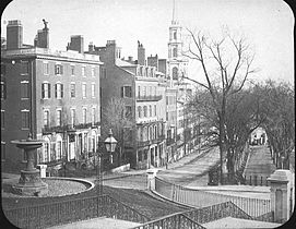 Park St., c. 1860, looking towards Tremont St.; Amory Ticknor house (on left, behind fountain)
 -
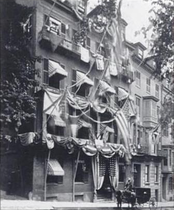 Union Club, Park St., 1875
 -
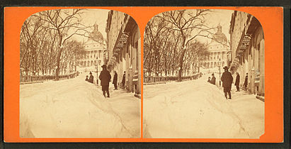 Winter scene, 19th century
 -
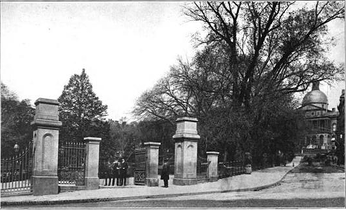 Park St. gate, Boston Common, 19th century
 -
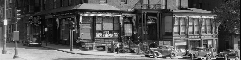 Amory Ticknor house, 1935, at corner of Beacon St. and Park St.
 -
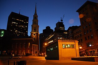 Corner of Park and Tremont Streets, Boston, 2008
 -
 Park Street looking from near the Massachusetts State House, 2008
 -
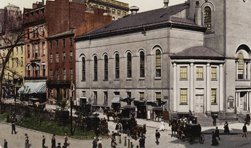 1904 Park St Boston


See also
- Park Street District
- Boston Common
- The Massachusetts State House
- Park Street Church
- Park Street (MBTA station), the first subway station in the United States, is located at the corner of Park and Tremont Streets and is a major transfer point between the Red and Green rapid transit lines.
- No. 9 Park
- Amory-Ticknor House
- Union Club of Boston
- Fox 25 News studios, built to include the State House as its backdrop
- Paulist Center & Chapel
References
Wikimedia Commons has media related to Park Street (Boston, Massachusetts).
- ^ "Street Book - City of Boston".
- ^ "A Brief History of the Union Club". The Union Club of Boston. Archived from the original on 1 April 2012. Retrieved 4 October 2012.
- ^ Boston almanac and business directory, 1887, 1894. Boston register and business directory, 1921.

42°21′26.53″N 71°3′46.35″W / 42.3573694°N 71.0628750°W
This Massachusetts road-related article is a stub. You can help Wikipedia by expanding it. |