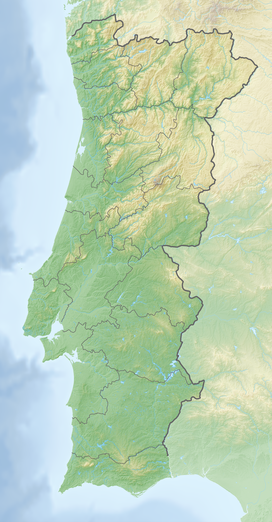
Serra de São Mamede
| Serra de São Mamede | |
|---|---|
| Saint Mammes Range | |
 The Serra de São Mamede near Castelo de Vide | |
| Highest point | |
| Peak | Pico de São Mamede |
| Elevation | 1,025 m (3,363 ft) |
| Isolation | 75.65 km |
| Coordinates | 39°12′54″N 6°7′25″W / 39.21500°N 6.12361°W |
| Dimensions | |
| Length | 25 km (16 mi) NW/SE |
| Width | 9 km (5.6 mi) NE/SW |
| Geography | |
| Country | Alpine |
| Age of rock | Ordovician, Silurian and Devonian |
| Type of rock | Quartzite, Dolomite |
Serra de São Mamede (English: Saint Mammes Range) is a
This mountain range separates the
The town of Marvão is an ancient fortified town located on a ridge of the range. Its emblematic castle is an archetype of medieval castle-building. It dates back to the times of the Reconquista, the reconquest of the Iberian Peninsula from the Moors.[2] Besides Marvão, Portalegre, Castelo de Vide, Arronches and Alegrete are other important towns in the area of the range.
Description

The Serra de São Mamede stretches for about 25 km in a NE/SW direction between
The climate of the range is between the
The
Geology
Quartzite and Dolomite are predominant, especially in the higher levels of the range. Granite is present in the southwestern area of the mountains between Portalegre and Fortios.[6]
See also
References
- ^ No Parque Natural da Serra de São Mamede Archived 2013-07-05 at archive.today
- ^ Castelo de Marvão - detalhe
- ^ Julio Muñoz Jiménez, Los Montes de Toledo. Estudios de Geografía Física. Departamento de Geografía de la Universidad de Oviedo. Instituto J. S. Elcano (CSIC), Oviedo 1976
- ^ Parque Natural da Serra de São Mamede - Flora (Portuguese)
- ^ Serra de Sao Mamede Natural Park
- ^ Serra de São Mamede - Geologia Archived 2013-11-04 at the Wayback Machine

