Stockton, San Diego
Stockton, San Diego | |
|---|---|
| Stockton | |
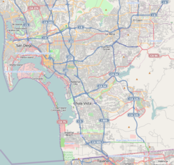
 Stockton is located in the central portion of the city of San Diego and part of the Southeastern Planning Area. | |
| Coordinates: 32°42′39″N 117°07′29″W / 32.7108°N 117.12475°W | |
| Country | |
| State | |
| County | |
| City | |
| ZIP Code | 92102 |
Stockton is an
Logan Heights to the south. I-15 forms the eastern boundary.[1] It is part of the Southeastern Planning Area.[2]
This area is named after
Robert Field Stockton
(1795–1866), a United States Navy commodore, active in the capture of California during the Mexican–American War. He was a naval innovator and an early advocate for a propeller-driven, steam-powered navy. Stockton was from a notable political family and also served as a U.S. Senator from New Jersey.
There was previously a Stockton Elementary, now renamed King-Chavez Academy Tk-5th.
References
- ^ "Central Neighborhood | Neighborhood Maps". Archived from the original on November 6, 2009. Retrieved September 14, 2009.
- ^ "Community Profiles: Southeastern San Diego". City of San Diego. Retrieved 2020-11-22.

