Hawthornthwaite Fell
Appearance
| Hawthornthwaite Fell | |
|---|---|
White Hill and Whin Fell in the distance | |
| Highest point | |
| Elevation | 479 m (1,572 ft) |
| Prominence | c. 57 m |
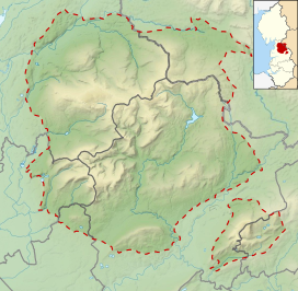
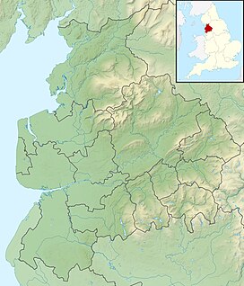
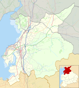
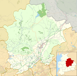
| Coordinates | 53°57′25″N 2°38′41″W / 53.95696°N 2.6446°W |
| Geography | |
| Location | Forest of Bowland, England |
| OS grid | SD578514 |
| Topo map | OS Landranger 102 |
Hawthornthwaite Fell is one of the larger hills in the
trig point
and the remains of its foundations are no longer upright, lying horizontally pointing westward.
See also
- Langden Brook, sourced from the fell
References
- ^ "Weekend walk: Hawthornthwaite Fell" - Lancashire Evening Post, 21 March 2019


