
Junín, Cundinamarca
Junín
(Nuestra Señora de la Concepción de) Chipazaque | |
|---|---|
Municipality and town | |
 View of Junín | |
|
UTC-5 (Colombia Standard Time) | |
| Website | Official website |
Junín is a municipality and town of Colombia in the Guavio Province, part of the department of Cundinamarca. The urban centre is situated at an altitude of 2,300 metres (7,500 ft) in the east of the Altiplano Cundiboyacense. Junín borders Gachetá and Guatavita in the north, Gama and Gachalá in the east, Fómeque in the south, and La Calera and Guasca in the west.[1]
Etymology
The former name Chipazaque of Junín refers to the shared terrain by the
History
Before the Spanish conquest of the Muisca, the green hills of Junín, then called Chipazaque, were a shared terrain between the zipa of Bacatá and the zaque of Hunza. The conquistadors reached the area of Junín in 1550 and founded the modern town.[1]
Economy
Main economical activities of Junín are agriculture, livestock farming and tourism.[1]
Gallery
-
 Church
 -
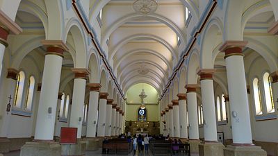 Church interior
 -
 Church at night
 -
 Train in Junín
 -
 Parque Ararat


References
- ^ a b c d (in Spanish) Official website Junín