
Central Freeway
Central Freeway | |
|---|---|
 Central Freeway highlighted in red | |
| Route information | |
| Maintained by Caltrans | |
| Length | 1.2 mi[1] (1.9 km) |
| Existed | 1959[2]–present |
| Component highways | |
| Major junctions | |
| South end | |
| North end | Octavia Boulevard |
| Location | |
| Country | United States |
| State | California |
| Counties | San Francisco |
| Highway system | |
.svg)
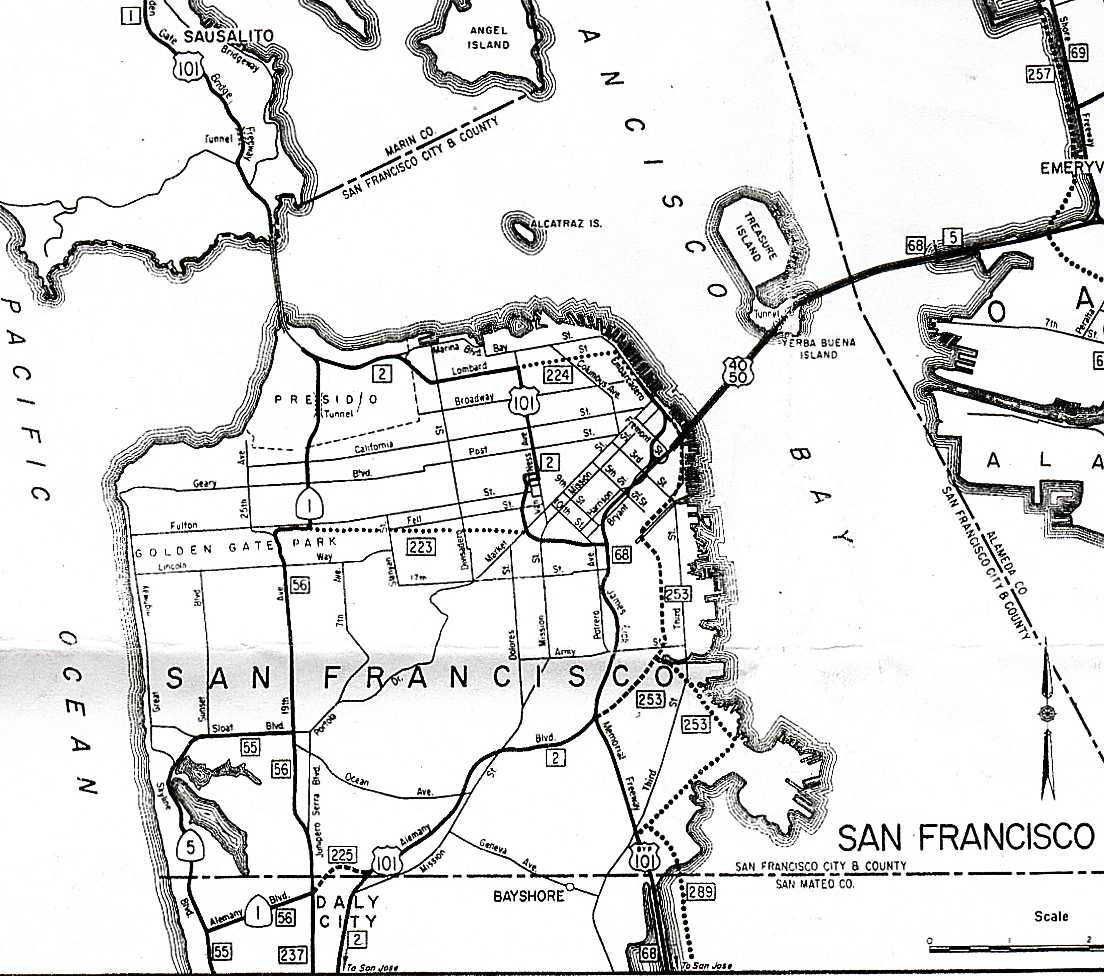
The Central Freeway is a roughly one-mile (1.5 km)
Route description
The Central Freeway begins at a
Before the Loma Prieta earthquake, the freeway continued beyond Fell Street and then curved northeast, with the northbound side ending at a ramp to Golden Gate Avenue and Franklin Street, and the southbound level touching down to the northwest at Turk and Gough Streets.[5] Until 2007, this land remained mainly undeveloped, filled primarily by parking lots.[3] However, the parcels were sold off to developers in the 2010s and as of 2020, most of it has been converted into a mix of affordable and market-rate housing.[6]
History
Plans and original freeway

The 1948 Transportation Plan for San Francisco, prepared by De Leuw, Cather and Company, included the Central Freeway. This

The route was also included in the 1955 city master plan, by then extending north beyond the former Broadway terminus to the proposed
There was a plan promulgated in February 1962 to relieve traffic congestion on the

Truncation
In 1989, the
A fight began between the primarily
Between early 2010 and 2013, when it was partially redeveloped for housing, a 2.2-acre site between Laguna, Oak, Fell, and Octavia Streets in Hayes Valley that had been ramps for the elevated freeway was temporarily converted into Hayes Valley Farm. With a grant from the Mayor's Office of Economic and Workforce Development, raised beds using cardboard as mulch were constructed on the road bed and potted fruit trees and bee hives added.[19][20][21][22][unreliable source?]
In 2022, State Senator Scott Wiener submitted a letter to a Caltrans district director requesting a study to investigate demolition of the Central Freeway and other nearby elevated freeways.[23]
Exit list
This section is missing mileposts for junctions. |
Except where prefixed with a letter,
| Postmile [24][25][26] | Exit | Destinations | Notes | ||
|---|---|---|---|---|---|
| R4.24 | James Lick Freeway) – San Jose | Continuation beyond I-80 | |||
| R4.24 | 433B | Signed as exit 433 southbound; I-80 exit 1B | |||
| R4.58 | 433C | Ninth Street – Civic Center | Northbound exit and southbound entrance | ||
| | Northbound exit and southbound entrance | ||||
| R5.20 | 434A | Duboce Avenue | Northbound exit and southbound entrance | ||
| | At-grade intersection ; only right turns onto Market Street are allowed | ||||
| R5.40 | 434B | Octavia Boulevard to Fell Street | Continuation beyond Market Street | ||
| | Oak Street | Southbound entrance only (Closed in 1996) | |||
| | Fell Street, Laguna Street | Northbound exit only (Closed in 2003) | |||
| | Golden Gate Avenue, Franklin Street | Northbound exit only (Closed in 1989) | |||
| | Gough Street, Turk Street | Southbound entrance only (Closed in 1989) | |||
1.000 mi = 1.609 km; 1.000 km = 0.621 mi
| |||||
See also
 California Roads portal
References
- ^ Google Maps driving directions, accessed November 2007
- ^ "SFGov: Octavia Boulevard: History". Archived from the original on 2007-09-29. Retrieved 2007-10-01.
- ^ a b Google Maps street map and satellite imagery, accessed November 2007
- ^ Google Maps street view, accessed November 2007
- ^ Plans for the San Francisco Bay Area's Freeways (Map). California Division of Highways. 1965.
- ^ "Everyone Gets a Lot: The Creation of Octavia Boulevard and Patricia's Green". hoodline.com. 4 October 2015. Retrieved 3 April 2020.
- OCLC 7431642.
- ^ Transportation Section of the Master Plan of the City and County of San Francisco, 1955, OCLC 51930208 (map with route numbers added)
- ^ California Highway and Public Works, March–April, 1955
- ^ a b John King, San Francisco Chronicle, An urban success story: Octavia Boulevard an asset to post-Central Freeway area, January 3, 2007
- ^ California Highways and Public Works, March–April, 1960
- California Highway Transportation Agency, map of San Francisco, 1963
- ^ Tillo E. Kuhn, Public Enterprise Economics and Transport Problems, University of California Press, 1962, p. 200
- ^ Proposed Tiburon Bridge:
- ^ Preservation Institute, San Francisco, CA: Central Freeway, accessed November 2007
- ^ Gordon, Rachel (September 8, 2005). "Boulevard of dreams, the premiere: Hayes Valley freed of freeway -- city ready to celebrate". The San Francisco Chronicle. Retrieved 26 April 2013.
- ^ Echeverria, Danielle (March 4, 2024). "S.F.'s most dangerous intersections are concentrated in one part of the city". The San Francisco Chronicle. Retrieved 4 March 2024.
- ^ Lloyd, Carol (July 1, 2003). "Central Freeway plan creates new Oz but leaves South of Market neighbors stuck in Kansas". The San Francisco Chronicle. Retrieved 26 April 2013.
- ^ Roth, Matthew (February 8, 2010). "Building a Farm Where a Freeway Used to Be". StreetsBlog SF.
- ^ King, John (July 23, 2010). "Vandals ruin bee colonies at Hayes Valley Farm". San Francisco Chronicle.
- ^ Ho, Vivian (June 14, 2013). "2 detained at Hayes Valley Farm protest". San Francisco Chronicle.
- ^ "The Legacy of Hayes Valley Farm". Hayes Valley Farm. February 15, 2016. Archived from the original on 2018-03-11. Retrieved 2018-11-22.
- ^ Jung, Yoohyun (December 3, 2022). "Sen. Scott Wiener's dramatic idea for San Francisco: Tear down the Central Freeway". San Francisco Chronicle. Retrieved December 6, 2022.
- ^ a b California Department of Transportation. "State Truck Route List". Sacramento: California Department of Transportation. Archived from the original (XLS file) on June 30, 2015. Retrieved June 30, 2015.
- ^ California Department of Transportation (July 2007). "Log of Bridges on State Highways". Sacramento: California Department of Transportation.
- ^ California Department of Transportation, All Traffic Volumes on CSHS, 2005 and 2006
External links
- Caltrans: US 101 highway conditions
- Caltrans Traffic Conditions Map
- California Highway Patrol Traffic Incidents
- Timeline: A look back at Octavia St. and the Central Freeway
- California Highways: US 101
- California Highways (www.cahighways.org) San Francisco-Bay Area Freeway Development (Part 1—The City of San Francisco)
- Plans from 1948 for the extension of the Central Freeway north to Broadway
- Map from 1957 of the connection of the proposed San Francisco-Tiburon Crossing to the Central Freeway