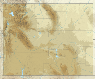
Mount Haynes
Appearance
| Mount Haynes | |
|---|---|
 Mount Haynes, 2009 | |
| Highest point | |
| Elevation | 8,235 ft (2,510 m) NAVD 88[1] |
| Coordinates | 44°37′58″N 110°56′46″W / 44.63278°N 110.94611°W[2] |
| Geography | |
| Parent range | Gallatin Range |
| Topo map | Mount Jackson |
Mount Haynes el. 8,218 feet (2,505 m) is a prominent peak adjacent to the
Horace Albright to honor Frank Jay Haynes (1853–1921), the first official photographer of the park.[3] Prior to being named Mount Haynes, the peak was unofficially called Mount Burley for D. E. Burley of the Union Pacific Railroad.[4]
Today there is an interpretive overlook along the Madison River just opposite the peak.
-
Mount Haynes namesake, Frank Jay Haynes
-
National Park Meadow with Mount Haynes on the horizon
See also
- Mountains and mountain ranges of Yellowstone National Park
Notes
- ^ "Mount Haynes, Wyoming". Peakbagger.com. Retrieved January 18, 2013.
- ^ "Mount Haynes". Geographic Names Information System. United States Geological Survey, United States Department of the Interior.
- ^ Tilden, Freeman (1964). "XVIII-F. Jay Haynes-Yellowstone Concessionaire". Following the Frontier with F. Jay Haynes-Pioneer Photographer of the Old West. New York: Alfred A. Knopf. pp. 372–398.
- ISBN 0-87081-382-X.


