
Sanmenxia
Sanmenxia
三门峡市 Sanmenhsia | ||
|---|---|---|
License plate prefixes 豫M | | |
| Website | smx | |
Sanmenxia (
As of the 2020 census, it was home to 2,034,872 inhabitants of which 820,300 lived in the built-up area made of
Names and History
The city's name in Chinese (三门峡) means "The Gorge of Three Gateways" and is derived from two islands that split the Yellow River into three parts.
According to Chinese mythology, Yu the Great used a divine axe to cut the mountain ridge three times, creating the Sanmenxia gorges to prevent massive flooding. The three "men" or gates were then named "The Gateway of Man" (人门), "The Gateway of Gods" (神门) and "The Gateway of Devils" (鬼门).
With the construction of the Sanmenxia Dam in the late 1950s, the ancient passes were flooded.
During the
Archaeological finds near Sanmenxia between 1956 and 1991 revealed mass chariot graves and bronzeware of Western Guo State rulers. Furthermore, the archaeological site “Shihao Section of Xiaohan Ancient Road”, an excavated pathway that is part of the world heritage site “Silk Roads: the Routes Network of Chang'an-Tianshan Corridor”, is also located in Sanmenxia. In 2011, the Sanmenxia Cultural Sports Centre Stadium opened. The association football venue has a capacity of 22,000.
Geography and climate
Sanmenxia is located in western Henan on the southern (right) bank of the Yellow River, and is surrounded on three sides by mountains, with elevations generally increasing from northeast to southwest. Most of the prefecture is at an altitude of 300 to 1,500 metres (980 to 4,920 ft), although the highest peak in the province, at 2,413.8 metres (7,919 ft), is located in Lingbao. The prefecture is at the intersection of Henan, Shanxi, and Shaanxi provinces, bordering Luoyang to the east, Nanyang to the south, Weinan (Shaanxi) to the west, and Yuncheng (Shanxi) to the north across the Yellow River.
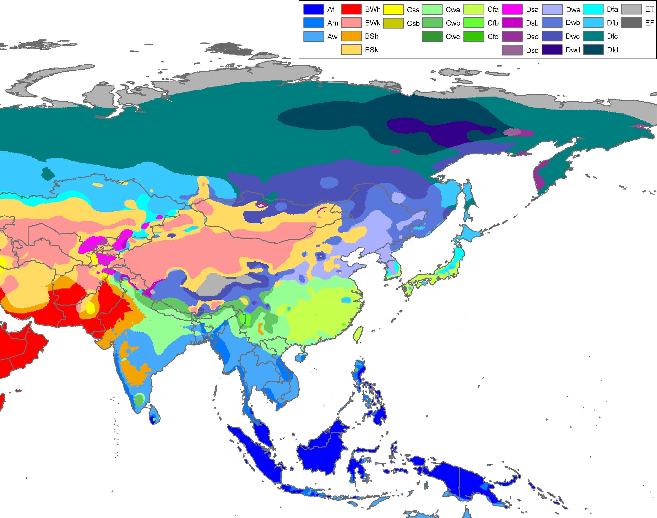
Sanmenxia has a mostly dry,
| Climate data for Sanmenxia (1991–2018 normals, extremes 1971–2010) | |||||||||||||
|---|---|---|---|---|---|---|---|---|---|---|---|---|---|
| Month | Jan | Feb | Mar | Apr | May | Jun | Jul | Aug | Sep | Oct | Nov | Dec | Year |
| Record high °C (°F) | 15.6 (60.1) |
23.3 (73.9) |
29.7 (85.5) |
36.7 (98.1) |
39.8 (103.6) |
41.4 (106.5) |
41.6 (106.9) |
39.6 (103.3) |
39.2 (102.6) |
33.3 (91.9) |
26.3 (79.3) |
18.4 (65.1) |
41.6 (106.9) |
| Mean daily maximum °C (°F) | 5.2 (41.4) |
9.4 (48.9) |
15.6 (60.1) |
22.6 (72.7) |
27.4 (81.3) |
31.5 (88.7) |
32.4 (90.3) |
30.7 (87.3) |
25.8 (78.4) |
20.3 (68.5) |
12.9 (55.2) |
6.6 (43.9) |
20.0 (68.1) |
| Daily mean °C (°F) | 0.1 (32.2) |
3.8 (38.8) |
9.5 (49.1) |
16.1 (61.0) |
21.1 (70.0) |
25.4 (77.7) |
27.0 (80.6) |
25.5 (77.9) |
20.5 (68.9) |
14.6 (58.3) |
7.5 (45.5) |
1.6 (34.9) |
14.4 (57.9) |
| Mean daily minimum °C (°F) | −3.7 (25.3) |
−0.3 (31.5) |
4.8 (40.6) |
10.8 (51.4) |
15.6 (60.1) |
20.1 (68.2) |
22.9 (73.2) |
21.6 (70.9) |
16.6 (61.9) |
10.4 (50.7) |
3.6 (38.5) |
−2.0 (28.4) |
10.0 (50.1) |
| Record low °C (°F) | −12.5 (9.5) |
−10.9 (12.4) |
−6.2 (20.8) |
−0.4 (31.3) |
4.7 (40.5) |
12.4 (54.3) |
15.8 (60.4) |
12.8 (55.0) |
6.5 (43.7) |
−2.1 (28.2) |
−8.0 (17.6) |
−12.8 (9.0) |
−12.8 (9.0) |
| Average precipitation mm (inches) | 3.8 (0.15) |
8.6 (0.34) |
17.4 (0.69) |
36.6 (1.44) |
57.8 (2.28) |
63.5 (2.50) |
105.0 (4.13) |
79.2 (3.12) |
89.7 (3.53) |
49.4 (1.94) |
24.3 (0.96) |
3.7 (0.15) |
539 (21.23) |
| Average precipitation days (≥ 0.1 mm) | 3.2 | 3.6 | 5.3 | 6.5 | 8.1 | 8.1 | 9.8 | 9.3 | 9.9 | 7.7 | 5.7 | 2.7 | 79.9 |
| Average snowy days | 4.4 | 3.9 | 1.5 | 0.2 | 0 | 0 | 0 | 0 | 0 | 0 | 1.7 | 3.1 | 14.8 |
| Average relative humidity (%)
|
53 | 53 | 52 | 54 | 56 | 59 | 70 | 72 | 72 | 69 | 64 | 55 | 61 |
| Mean monthly sunshine hours | 143.3 | 136.5 | 170.1 | 202.5 | 220.5 | 216.2 | 208.5 | 190.0 | 147.5 | 148.6 | 140.3 | 145.5 | 2,069.5 |
| Percent possible sunshine | 46 | 44 | 46 | 51 | 51 | 50 | 48 | 46 | 40 | 43 | 46 | 48 | 47 |
| Source 1: China Meteorological Administration[5][6] | |||||||||||||
| Source 2: Weather China[7] | |||||||||||||
Administration
The
- Hubin District(湖滨区)
- Shanzhou District(陕州区)
- Lingbao City(灵宝市)
- Yima City (义马市)
- Lushi County (卢氏县)
- Mianchi County (渑池县)
| Map |
|---|

Transportation

Notable people
- Gao Jixing, founding prince of Jingnan during the Five Dynasties and Ten Kingdoms period of China
- Hao Pengju, Chinese general and politician
- Zhang Zifeng, actress[8]
References
- ^ "China: Hénán (Prefectures, Cities, Districts and Counties) - Population Statistics, Charts and Map".
- ISBN 978-7-5037-8268-8. Archived from the originalon 2018-11-15. Retrieved 2018-12-03.
- ^ "河南统计年鉴—2017". www.ha.stats.gov.cn. Archived from the original on 2018-11-15. Retrieved 2018-12-03.
- ^ Peel, M. C. and Finlayson, B. L. and McMahon, T. A. (2007). "Updated world map of the Köppen-Geiger climate classification". Hydrol. Earth Syst. Sci. 11: 1633-1644. ISSN 1027-5606.
- ^ 中国气象数据网 – WeatherBk Data (in Simplified Chinese). China Meteorological Administration. Retrieved 12 August 2023.
- ^ "Experience Template" 中国气象数据网 (in Simplified Chinese). China Meteorological Administration. Retrieved 12 August 2023.
- ^ 三门峡 - 气象数据 -中国天气网 (in Chinese). Weather China. Retrieved 29 November 2022.
- ^ "三门峡籍女演员张子枫出任"三门峡旅游形象大使"". Henan Daily. 2017-07-05. Retrieved 2024-05-25.
External links
- Government Website of Sanmenxia (in Chinese)
- City Map (in Chinese)