
California State Route 19
State Route 19 | ||||
|---|---|---|---|---|
 SR 19 highlighted in red, with the relinquished portions in pink | ||||
| Route information | ||||
| Maintained by Caltrans | ||||
| Length | 26.2 mi[1] (42.2 km) (prior to relinquishments) | |||
| Existed | 1934[2]–present | |||
| Major junctions | ||||
| South end | Rose Street at the Lakewood-Bellflower border (State Maintenance) | |||
| North end | Foothill Boulevard in Pasadena (State Maintenance) | |||
| Location | ||||
| Country | United States | |||
| State | California | |||
| Counties | Los Angeles | |||
| Highway system | ||||
| ||||
| ||||

State Route 19 (SR 19) is a state highway in the U.S. state of California, running along Lakewood Boulevard and Rosemead Boulevard in the Los Angeles area. An additional "hidden" state highway, State Route 164 (SR 164), is also signed as part of SR 19, despite having a legal description separate from Route 19. The combined route is a north–south four-to-six lane suburban roadway, lying east of the Long Beach Freeway (
Route description

Locals generally refer to the combined SR 19/164 route as either Lakewood Boulevard or Rosemead Boulevard, not by its numerical designation. The two highways are part of the National Highway System,[3] a network of highways that are considered essential to the country's economy, defense, and mobility by the Federal Highway Administration.[4]
The original official southern terminus of SR 19 was at the Los Alamitos Circle in Long Beach, where Lakewood Boulevard, State Route 1 (Pacific Coast Highway), and Los Coyotes Diagonal converge. SR 19 then proceeded north along Lakewood Boulevard through Long Beach and the City of Lakewood, intersecting with Interstate 405, passing under a runway of the Long Beach Airport[5] (the part through the airport has been relocated to the east; parts of the old alignment remain as airport service roads), then running to the west of Lakewood Center Mall before passing through the neighborhood of Mayfair.
Since the California Legislature relinquished segments of the highway, state control of SR 19 now officially begins at the point where Lakewood Boulevard crosses the Lakewood–
Lakewood Boulevard continues north through Downey, intersecting with
The hidden SR 164, but signed as part of SR 19, begins north of Gallatin Road, traveling along Rosemead Boulevard across
State maintenance ends again at the Rosemead–
Bus service is provided by
History

Before the present SR 19 was constructed, San Gabriel Boulevard, which extended from
State Route 164 | |
|---|---|
| Location | Pico Rivera–Pasadena |
| Length | 9.56 mi (15.39 km) |
| Existed | 1964–present |
The 9.56-mile (15.39 km) piece of SR 19 north of Gallatin Road in
Many segments of SR 19 have since been relinquished to the cities that they run through. Caltrans relinquished Long Beach's portion of SR 19 to the city on January 27, 1999,[5] and Downey's segment of SR 19 was relinquished to the city on July 3, 2001.[7] However, the segment in Pico Rivera was not relinquished to that city until June 22, 2004.[8] On October 27, 2006, the northern portion of SR 164 that went through an unincorporated area of the county from Callita Street to I-210 was relinquished to the county.[11] In April 2008, the section of SR 164 through Temple City was relinquished to that city.[10] On April 9, 2012, the section of SR 19 through Lakewood was relinquished to that city.[19] In 2017, the relinquishment process in Bellflower has started.[6]
Major intersections
Except where prefixed with a letter, postmiles were measured on the road as it was in 1964, based on the alignment that existed at the time, and do not necessarily reflect current mileage. R reflects a realignment in the route since then, M indicates a second realignment, L refers to an overlap due to a correction or change, and T indicates postmiles classified as temporary ().[20] Segments that remain unconstructed or have been relinquished to local control may be omitted. The entire route is in Los Angeles County.
| Location | Postmile [20][21][22][23] | Destinations | Notes | ||
|---|---|---|---|---|---|
Los Alamitos Traffic Circle ; original south end of SR 19; former US 101 Alt. | |||||
| 1.06 SR 7 | |||||
| 1.97 | |||||
SR 214; serves Long Beach City College | |||||
| 3.98[a] | Del Amo Boulevard | ||||
| Lakewood–Bellflower line | N/A | Rose Street | Southern end of state maintenance on SR 19 | ||
| Bellflower | 5.89 | Artesia Boulevard – Bellflower, Long Beach | Former SR 91 | ||
| 6.05 | SR 91 east exit 15, west exit 15A; interchange | ||||
| Paramount–Downey line | 8.37 | Gardendale Street | Northern end of state maintenance on SR 19 | ||
| Downey | 8.57 | I-105 exit 16; interchange | |||
| 8.89 | Imperial Highway | Former SR 90 | |||
| N/A | Bellflower Boulevard | Former Legislative Route 169 (1933-1945) | |||
| 10.38 | Firestone Boulevard | Former SR 42 | |||
| 12.08 | US 101 Bypass south | ||||
SR 26 | |||||
| Pico Rivera | N/A | Slauson Avenue | |||
| N/A | Washington Boulevard | ||||
| 15.52 | Whittier Boulevard – Whittier, Montebello | Former SR 72 | |||
| 16.64 1.39[b] | Gallatin Road | Southern end of state maintenance on SR 164 | |||
| South El Monte | 2.41[b] | San Gabriel Boulevard, Durfee Avenue | |||
| 3.34 Los Angeles SR 60 exit 10A; interchange | | ||||
| 4.81 US 70/US 99 | |||||
Los Angeles | I-10 exit 26B; interchange | ||||
SR 212 | |||||
| Rosemead–Temple City line | 6.89[b] | Northern end of state maintenance on SR 164 | |||
| Temple City | 7.78[b] | Las Tunas Drive | |||
| N/A[b] | Callita Street | ||||
| East San Gabriel–East Pasadena line | 9.65[b] | Huntington Drive | |||
SR 248 (US 66 post-1933) | |||||
I-210 (Foothill Freeway) – San Bernardino, Pasadena | I-210 exit 30; interchange; southern end of state maintenance | ||||
| 10.95 Route 210 (US 66 pre-1933) | |||||
1.000 mi = 1.609 km; 1.000 km = 0.621 mi
| |||||
See also
 California Roads portal
References
- ^ California Department of Transportation, State Truck Route List, updated April 1, 2004
- ^ "California Highways: Routes 017-024 to Individual Page Detour". www.cahighways.org. Retrieved 17 September 2023.
- ^ Federal Highway Administration (March 25, 2015). National Highway System: Los Angeles, CA (PDF) (Map). Scale not given. Washington, DC: Federal Highway Administration. Retrieved October 19, 2017.
- ^ Natzke, Stefan; Neathery, Mike & Adderly, Kevin (June 20, 2012). "What is the National Highway System?". National Highway System. Washington, DC: Federal Highway Administration. Retrieved July 1, 2012.
- ^ a b " State begins transfer of Lakewood Boulevard
- ^ a b "Archived copy". Archived from the original on 2017-04-29. Retrieved 2017-07-29.
{{cite web}}: CS1 maint: archived copy as title (link) - ^ a b "Minutes Of The City Council" (PDF). Archived from the original (PDF) on 2005-02-12. Retrieved 2008-02-16.
- ^ a b "Google News". Google News. 17 September 2023. Retrieved 17 September 2023.
- ^ a b Los Angeles and Orange Counties Street Guide and Directory (Map). Thomas Brothers. 1999. p. 566, 596, 636, 676, 706, 736, 766, 796.
- ^ a b Bill introduced sen.ca.gov [permanent dead link]
- ^ a b "CPY Document" (PDF). lacounty.info. Retrieved 17 September 2023.[permanent dead link]
- ^ Los Angeles Times, Celebrate Paving of Boulevard, November 4, 1925
- ^ Ben Blow, California Highways: A Descriptive Record of Road Development by the State and by Such Counties as Have Paved Highways, 1920 (Archive.org or Google Books), p. 165
- , 1933
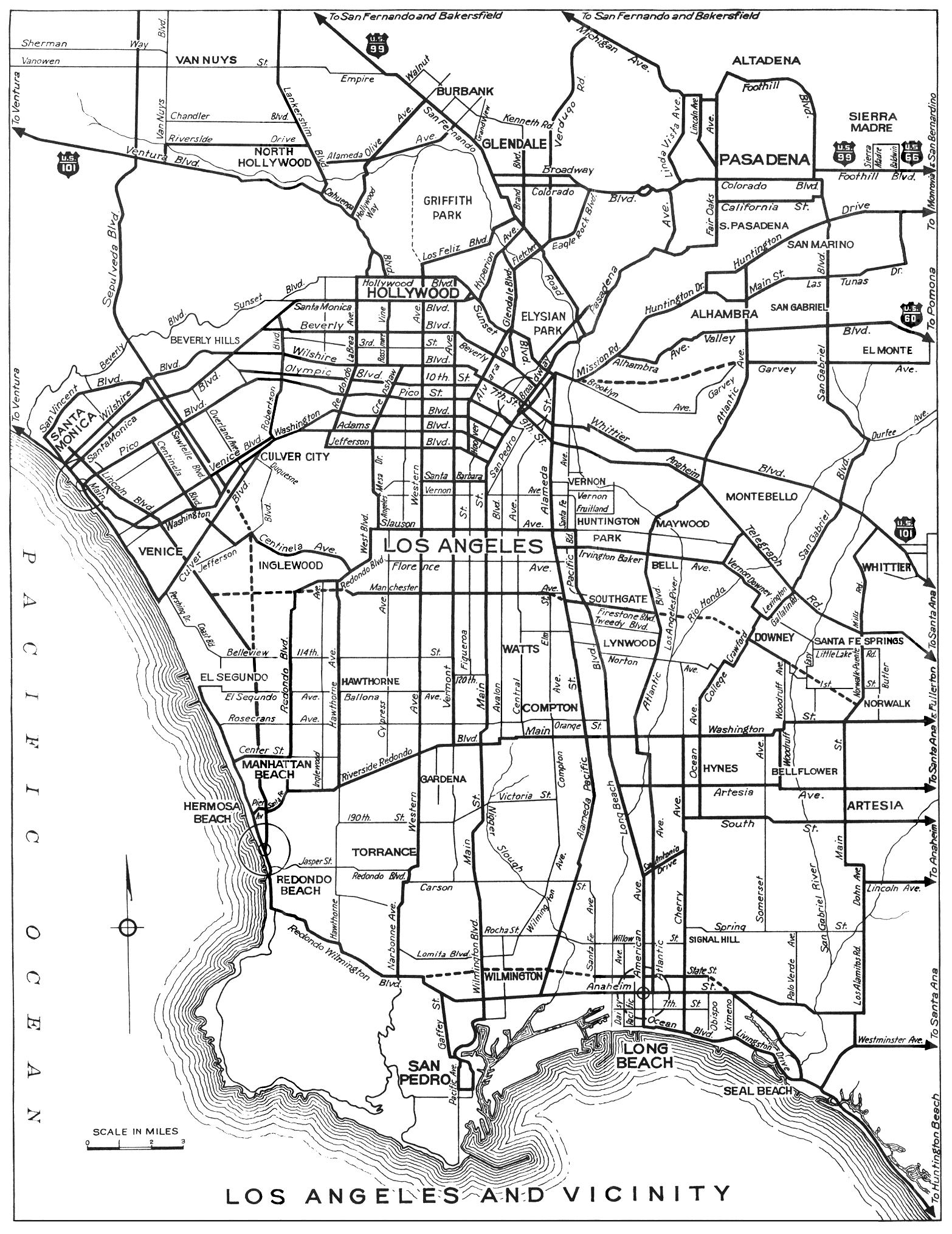
- Division of Highways, Los Angeles and Vicinity, 1934
- ^ California State Assembly. "An act to amend sections 2, 3 and 5 and to add two sections to be numbered 6 and 7 to an act entitled 'An act to provide for the acquisition of rights of way for and the construction, maintenance..." Fiftieth Session of the Legislature. Statutes of California. State of California. Ch. 767 p. 2040.: "State Highway Route 60 near Long Beach to State Highway Route 9 near Lamanda Park."
- ^ California State Assembly. "An act to establish a Streets and Highways Code, thereby consolidating and revising the law relating to public ways and all appurtenances thereto, and to repeal certain acts and parts of acts specified herein". Fifty-first Session of the Legislature. Statutes of California. State of California. Ch. 29 p. 286.: "Route 168 is from Route 60 near Long Beach to Route 9 near Lamanda Park."
- ^ "California Highways: Routes 161-168 to Individual Page Detour". www.cahighways.org. Retrieved 17 September 2023.
- ^ "Caltrans" (PDF). dot.ca.gov. Archived from the original (PDF) on 2022-09-14. Retrieved 2023-09-17.
- ^ a b California Department of Transportation. "State Truck Route List". Sacramento: California Department of Transportation. Archived from the original (XLS file) on June 30, 2015. Retrieved June 30, 2015.
- ^ California Department of Transportation (July 2007). "Log of Bridges on State Highways". Sacramento: California Department of Transportation.
- ^ California Department of Transportation, All Traffic Volumes on CSHS Archived July 21, 2011, at the Wayback Machine, 2006
- ^ California Department of Transportation, All Traffic Volumes on CSHS Archived 2012-02-09 at the Wayback Machine, 1999 (the last year before it was updated to remove the relinquished part)