
Jixi
Jixi
鸡西市 Kisih, Kihsi | ||
|---|---|---|
License Plate Prefix 黑G | | |
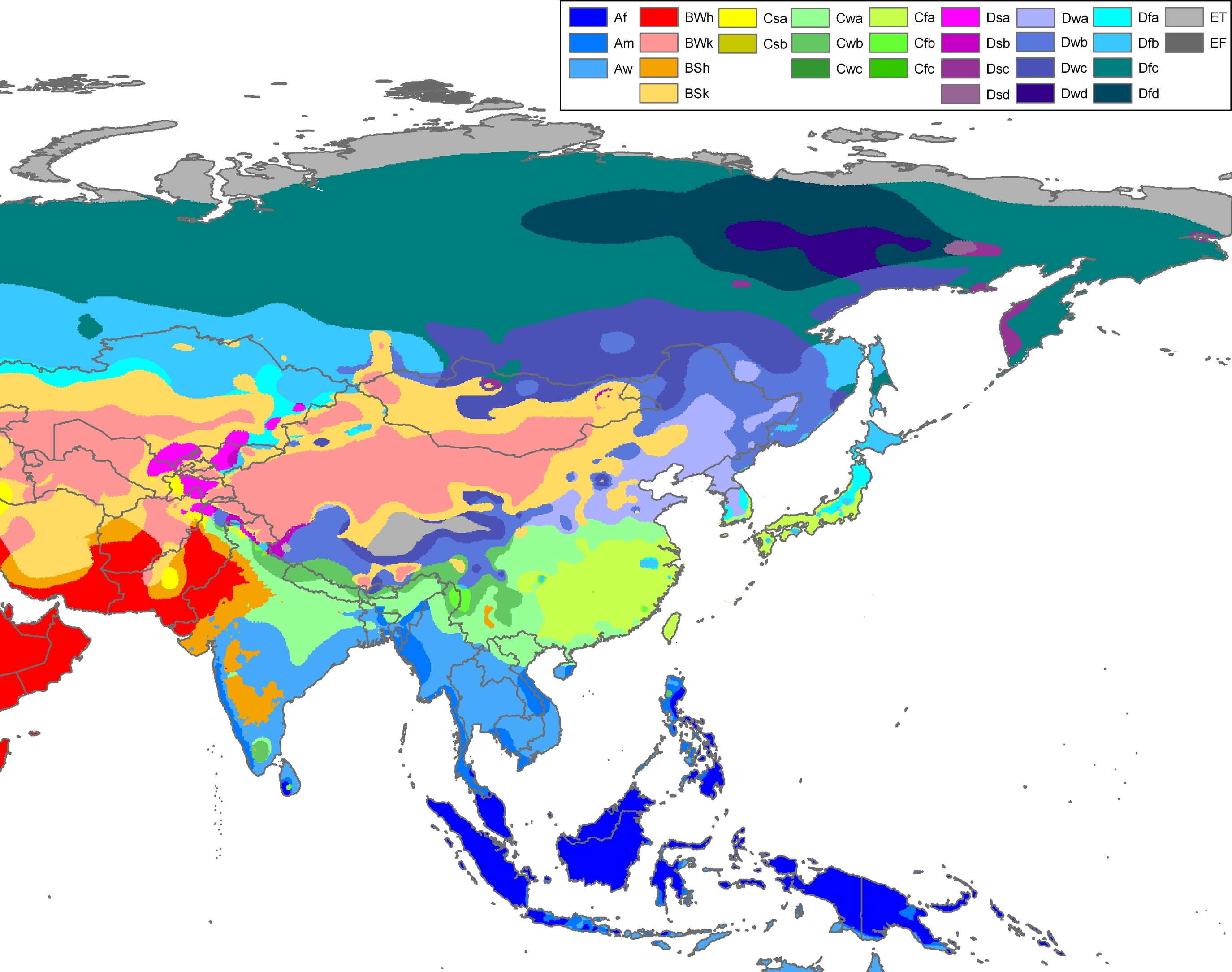
| Climate | Dwb | |
| Website | www | |
| Jixi | ||
|---|---|---|
Hanyu Pinyin Jīxī | | |
Jixi (
History
Ancient times
Jixi was ruled by the
Early modern period
In the second half of the 19th century, as
Modern era
On August 12, 1945, the Soviet Army captured Jining County, and the Military Headquarters commanded the Jixi mining area to resume production. On October 18, 1947, Jixi Mining Bureau was founded in order to control the collieries and the Coal Mine Machinery Factory. On July 30, 1949, the Northeast Executive Committee allowed Jining County to change its name to Jixi County, which was administered by
During the First
Geography
Jixi is located at the southern edge of the Sanjiang or Three Rivers Plain. Bordering prefecture cities are:
- Mudanjiang (SW)
- Qitaihe (N)
- Shuangyashan (N)
It also borders Russia's
Climate
Jixi has a monsoon-influenced, humid continental climate (Köppen Dwb/Dwa),[6] with bitter but dry winters, and warm, humid summers. However, due to the relative proximity to the Sea of Japan, summer is comparatively cool and refreshing while the climate here is affected and coordinated by the marine climate. The monthly 24-hour average temperature ranges from −16.0 °C (3.2 °F) in January to 21.7 °C (71.1 °F) in July, and the annual mean is 4.52 °C (40.1 °F). With monthly percent possible sunshine ranging from 50% in July to 68% in February, the city receives abundant sunshine, with 2,564 hours of bright sunshine annually. Extreme temperatures have ranged from −34.7 °C (−30 °F) to 37.6 °C (100 °F).
| Climate data for Jixi (1991–2020 normals) | |||||||||||||
|---|---|---|---|---|---|---|---|---|---|---|---|---|---|
| Month | Jan | Feb | Mar | Apr | May | Jun | Jul | Aug | Sep | Oct | Nov | Dec | Year |
| Record high °C (°F) | 4.5 (40.1) |
10.9 (51.6) |
19.3 (66.7) |
29.8 (85.6) |
34.5 (94.1) |
37.4 (99.3) |
37.6 (99.7) |
36.5 (97.7) |
31.9 (89.4) |
28.2 (82.8) |
18.5 (65.3) |
8.7 (47.7) |
37.6 (99.7) |
| Mean daily maximum °C (°F) | −10.4 (13.3) |
−5.4 (22.3) |
2.4 (36.3) |
12.8 (55.0) |
20.2 (68.4) |
24.9 (76.8) |
27.2 (81.0) |
25.9 (78.6) |
21.1 (70.0) |
12.5 (54.5) |
0.5 (32.9) |
−8.9 (16.0) |
10.2 (50.4) |
| Daily mean °C (°F) | −15.6 (3.9) |
−11.2 (11.8) |
−3.0 (26.6) |
6.7 (44.1) |
14.0 (57.2) |
19.2 (66.6) |
22.1 (71.8) |
20.8 (69.4) |
14.9 (58.8) |
6.5 (43.7) |
−4.5 (23.9) |
−13.6 (7.5) |
4.7 (40.4) |
| Mean daily minimum °C (°F) | −19.8 (−3.6) |
−16.0 (3.2) |
−8.1 (17.4) |
1.1 (34.0) |
8.2 (46.8) |
14.0 (57.2) |
17.7 (63.9) |
16.4 (61.5) |
9.5 (49.1) |
1.4 (34.5) |
−8.6 (16.5) |
−17.4 (0.7) |
−0.1 (31.8) |
| Record low °C (°F) | −33.3 (−27.9) |
−29.3 (−20.7) |
−22.7 (−8.9) |
−8.9 (16.0) |
−2.6 (27.3) |
4.6 (40.3) |
10.8 (51.4) |
8.1 (46.6) |
−2.4 (27.7) |
−13.1 (8.4) |
−23.0 (−9.4) |
−29.6 (−21.3) |
−33.3 (−27.9) |
| Average precipitation mm (inches) | 6.1 (0.24) |
4.3 (0.17) |
11.9 (0.47) |
23.0 (0.91) |
63.2 (2.49) |
91.2 (3.59) |
115.7 (4.56) |
118.1 (4.65) |
54.4 (2.14) |
33.8 (1.33) |
17.1 (0.67) |
8.8 (0.35) |
547.6 (21.57) |
| Average precipitation days (≥ 0.1 mm) | 5.2 | 4.4 | 6.9 | 8.3 | 12.8 | 14.1 | 14.4 | 13.5 | 9.7 | 7.9 | 6.9 | 7.0 | 111.1 |
| Average snowy days | 8.5 | 6.9 | 10.0 | 4.7 | 0.2 | 0 | 0 | 0 | 0.1 | 2.7 | 7.9 | 9.4 | 50.4 |
| Average relative humidity (%)
|
64 | 59 | 55 | 51 | 58 | 70 | 78 | 80 | 71 | 61 | 62 | 66 | 65 |
| Mean monthly sunshine hours | 179.6 | 197.9 | 230.1 | 221.6 | 236.0 | 241.0 | 229.8 | 223.1 | 233.9 | 204.8 | 168.1 | 157.2 | 2,523.1 |
| Percent possible sunshine | 63 | 67 | 62 | 54 | 51 | 52 | 49 | 52 | 63 | 61 | 60 | 58 | 58 |
| Source: China Meteorological Administration[7][8][9] | |||||||||||||
Administrative divisions and population

The prefecture-level city of Jixi has direct jurisdiction over 6
| Map | ||||||
|---|---|---|---|---|---|---|
| # | Name | Hanzi
|
Hanyu Pinyin
|
Population (2010 census)[10] | Area (km2) | Density (/km2) |
| 1 | Jiguan District | 鸡冠区 | Jīguān Qū | 365,385 | 145.5 | 2,511 |
| 2 | Hengshan District | 恒山区 | Héngshān Qū | 160,180 | 575.27 | 278 |
| 3 | Didao District | 滴道区 | Dīdào Qū | 103,646 | 507.24 | 204 |
| 4 | Lishu District | 梨树区 | Líshù Qū | 76,361 | 391.99 | 195 |
| 5 | Chengzihe District | 城子河区 | Chéngzǐhé Qū | 127,290 | 178.29 | 714 |
| 6 | Mashan District | 麻山区 | Máshān Qū | 30,097 | 410.21 | 73 |
| 7 | Hulin City | 虎林市 | Hǔlín Shì | 317,884 | 9,328.71 | 34 |
| 8 | Mishan City | 密山市 | Mìshān Shì | 407,451 | 7,722.38 | 53 |
| 9 | Jidong County | 鸡东县 | Jīdōng Xiàn | 273,871 | 3,228.88 | 85 |

Nationality
The 2000 national survey ethnic composition proportion
| Nationality | Population | Ratio |
|---|---|---|
| Han Chinese | 1,852,345 | 95.19% |
| Korean | 50,580 | 2.6% |
Manchu
|
33,512 | 1.7% |
Mongol
|
4,184 | 0.22% |
| Hui | 3,270 | 0.17% |
| Miao | 408 | 0.02% |
Xibe
|
356 | 0.02% |
| Zhuang | 308 | 0.02% |
| Tujia | 229 | 0.01% |
| Else | 865 | 0.05% |
Transportation
Railway
Jixi is linked by rail to the line from Jiamusi to Mudanjiang and has branch lines running to the Russian border areas. In Jixi Railway Station, there are multiple daily departures to other cities in China such as Beijing, Harbin, Qiqihar and Mudanjiang. Jixi is also famous as the home of the last remaining working steam locomotive in China.[11]
Highway
Jixi is linked to the national highway network through the
Air
Jixi Xingkaihu Airport opened in 2009 and serves as the main civilian airport for Jixi. It takes about 30 minutes to reach downtown from the airport. Domestic flights are available to several cities including Beijing, Shanghai, Harbin and Qingdao.
Economy
- GDP and economic data
Statistically, Jixi's GDP reached RMB 41.95 billion in 2010, representing a steady growth of 16.1% from a year earlier, ranked seventh among the 13 prefectures and prefecture-level cities in the province.[12] In 2010, value-added industrial output generated by enterprises with designated size or above rose 42.6% to RMB 9.51 billion.[12] In 2010, the foreign trade value of Jixi totaled US$710.01 million, up 41.7% year on year. Russia is the largest export destination.[12]
- Economic Features
The most important pillar industry in Jixi is coal mining. The economy of Jixi is mainly constructed around rich coal resources. Jixi is estimated to have about 8 billion tons of coal reserves, ranking 2nd out of 13 prefectures and prefecture-level cities in Heilongjiang Province. Coal chemical industry, metallurgy and machinery are predominant. The environmental protection industry, agriculture and tourist industries are also developing rapidly in recent years. However, Coal still accounts for the main part of the entire economic system. Other pillar industries in Jixi include pharmaceuticals, food manufacturing, non-metal products and electricity production and supply. Large industrial companies are hosted in Jixi such as Huawei Wood and Heilongjiang Rixin Food, which is mainly engaged in edible fungus processing. The food company has annual processing capacity of 2,500 tons of edible fungus. The graphite reserves of Jixi amount to 780 million tons, ranking first in all of Asia.[13] With the Khanka Lake being shared with Russia and the Muling River running through the city, Chinese medicinal herbs and freshwater resources are also rich.[13]
Tourism
Tourist sites in Jixi City itself include Jixi Museum in the west end of the city, and Huayan Temple (华严寺) which almost faces the museum across Wenhua Road. Within roughly an hour's drive is the Qi Lin Shan (麒麟山) scenic area.
A few hours east of the city within the Jixi administrative region is the Russian lake and river border, a number of points along which are popular summer destinations for tourists in particular:
Hutou Fortress
Hutou Fortress was a Japanese military base of the Kwantung Army in northeast China on the Sino-Soviet border which is known as "Oriental Maginot Line". The Japanese built a large scale military fortress in Hutou, since it was regarded, by the leader of Kwantung Army, as a dagger facing the defensive line between Vladivostok and Khabarovsk.[14] On August 26, 1945, the Soviet Red Army finally captured the Fort. As the Hutou battle ended, Japan's unconditional surrender came 11 days later. Only 53 of the 1,400 Japanese soldiers survived one of the last campaigns of the Second World War. A Study on the Hutou Fortress Battle between Japan and the Soviet Union took place in 2009, by the Social Science Academy of Heilongjiang Province, entitled "The end of World War II".
Ussuri River
Zhenbao Island
Zhenbao Island stands for the Island of Treasure in Chinese Language. On March 2, 1969, Sino-Soviet battles Zhenbao Island took place resulting in large-scale armed conflict. Now it has become a Nature Reserve and a National Forest Park.
Influence of ethnic Koreans

The Jixi region is known for its Korean ethnic minority. Cold Noodle (Naengmyeon in Korean, Leng Mian in Chinese), a traditional Korean dish made from wheat or buckwheat, is particularly associated with Jixi. The contemporary dish is a fusion of Korean and Northeastern Chinese flavors and derives its name from its distinctly cold taste. The noodles are often served with dried bean curd, Campanulaceae, and Pollack, amongst other ingredients. Also consumed by locals is Korean-style dog meat and fish-kettle.
Sister cities
Domestic
International
 Lesozavodsk, Primorsky Krai, Russia
 Gangwon, South Korea[16]
References
Bibliography
- 陶智 (Tao Chi); 唐克余 (Don Yu) (1990). 鸡西矿务局志 (in Chinese). Jixi: 鸡西矿务局志编纂委员会 [Jixi Mining Bureau Chi Compilation Committee].
- 雞西市地方志編纂委員會 (1996). 鸡西市志 (in Chinese). 方志出版社. ISBN 7-80122-082-X.
Notes
- ^ "China: Hēilóngjiāng (Prefectures, Cities, Districts and Counties) - Population Statistics, Charts and Map".
- ^ Jews in China, Archie Ossin, 2001.
- ^ デジタル版 日本人名大辞典+Plusの解説 久保田豊(2)【くぼた-ゆたか】 (in Japanese).
- ISBN 7-101-04738-6.
- ^ ISBN 7-80122-082-X.
- ^ Peel, M. C. and Finlayson, B. L. and McMahon, T. A. (2007). "Updated world map of the Köppen-Geiger climate classification". Hydrol. Earth Syst. Sci. 11: 1633-1644.
- ^ 中国气象数据网 – WeatherBk Data (in Simplified Chinese). China Meteorological Administration. Retrieved 5 July 2023.
- ^ 中国气象数据网 (in Simplified Chinese). China Meteorological Administration. Retrieved 5 July 2023.
- ^ 中国地面国际交换站气候标准值月值数据集(1971-2000年). China Meteorological Administration. Archived from the original on 2013-09-21.
- ^ "China: Hēilóngjiāng (Prefectures, Cities, Districts and Counties) - Population Statistics, Charts and Map".
- ^ 最后的蒸汽机车. 东北网 [Northeast Net] (in Chinese (China)).
- ^ a b c 鸡西市2010年主要经济指标完成情况 (in Chinese (China)). Jixi City People's Government. Archived from the original on 2012-04-03. Retrieved 2011-02-22.
{{cite web}}: CS1 maint: bot: original URL status unknown (link) - ^ a b Profiles of China Provinces, Cities and Industrial Parks
- ISBN 978-7-5603-0630-8.
- ^ Ussuri River-TouroChina.au Archived 2011-07-06 at the Wayback Machine
- ^ Sisterhood Cities (in Korean)
External links
- Jixi Government website
 Jixi travel guide from Wikivoyage