Lourens River Protected Natural Environment
Tools
Actions
General
Print/export
In other projects
Appearance
Source: Wikipedia, the free encyclopedia.
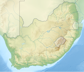
Section of protected land along the Lourens River in the Helderberg region, South Africa.
| Lourens River Protected Natural Environment | |
|---|---|
 | |
| Location | Western Cape, South Africa |
| Nearest city | Somerset West |
| Coordinates | 34°04′41″S 18°53′06″E / 34.078°S 18.885°E / -34.078; 18.885 |
| Area | 4,412.41 ha (10,903.3 acres) |
| Established | 5 September 1997 |
Lourens River Protected Natural Environment is a section of protected land along the
Lourens River in the Helderberg region, South Africa
.
The Lourens River is about 23 kilometres (14 mi) long, flowing from the
Black Wattle tree.[1]
The Dick Dent Bird Sanctuary is contained within the protected area. Beside the protected area is the Vergelegen Nature Reserve. West of the protected environment is the Helderberg Nature Reserve.[2]
See also
References
- ^ "Environmental resources and downloads. City of Cape Town. Environmental Resource Management Dept". Archived from the original on 2012-12-23.
- ^ "Protected Areas Register".
Further reading
- Bryant, Judy (November 2008). "A 'model' river runs through it". Science in Africa. Archived from the original on 14 October 2013. Retrieved 14 October 2013.
- Wiltshire, Beatrice (20 August 2010). "Lourens river under threat". Die Bolander. Retrieved 14 October 2013.

