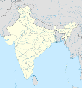
Fotu La
Source: Wikipedia, the free encyclopedia.
| Fotu La | |
|---|---|
Himalaya, Ladakh Range | |
| Coordinates | 34°17′21″N 76°42′05″E / 34.2892°N 76.7015°E / 34.2892; 76.7015 |
Fotu La (
Himalayas[1] in India.[2] At an elevation of 4,108 metres (13,478 ft), it is the highest point on the highway, surpassing the famed Zoji La
.
Fotu La is one of two high mountain passes between
Moving eastwards, the highway begins to descend towards the
Lamayuru after Fotu La. There is a Prasar Bharati
television relay station serving Lamayuru located on the pass.
References
- ^ ISSN 1530-5821. Archived from the originalon 28 September 2012. Retrieved 29 June 2009.
- ^ GeoNames. "Fotu La Pass". Retrieved 17 June 2009.
| State symbols |
| ||||||||||||||||||
|---|---|---|---|---|---|---|---|---|---|---|---|---|---|---|---|---|---|---|---|
| History |
| ||||||||||||||||||
| Administration |
| ||||||||||||||||||
| Geography |
| ||||||||||||||||||
| Human settlements | |||||||||||||||||||
| Culture |
| ||||||||||||||||||
| Tourism and wildlife |
| ||||||||||||||||||
| Transport |
| ||||||||||||||||||
| Infrastructure |
| ||||||||||||||||||
| See also |
| ||||||||||||||||||
This Ladakh, India location article is a stub. You can help Wikipedia by expanding it. |
Retrieved from "https://en.wikipedia.org/w/index.php?title=Fotu_La&oldid=1220938386"


