Luton/Dunstable urban area
51°53′56″N 0°28′44″W / 51.899°N 0.479°W
Luton/Dunstable urban area
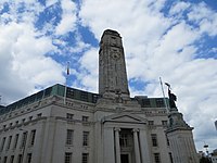
Luton Town Hall in George Street, Luton
Dunstable clock tower, High Street South, built in 1999
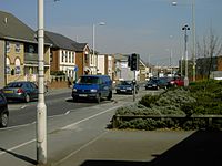
Houghton Regis High Street

The Luton/Dunstable urban area, according to the Office for National Statistics, is the conurbation (continuous built up area) including the settlements of Luton, Dunstable and Houghton Regis, in Bedfordshire, East of England.
Despite straddling
Luton, and part of Central Bedfordshire. The current population (2021 census) is 286,803.[1]
This is an increase of 9% from the 2011 population of 258,018.
Future growth
The area is expected to grow due to development within and physical expansion of the three towns and large re-development of Luton, including redevelopment of the former Vauxhall Motors factory complex.
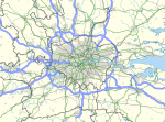
The Luton & Dunstable urban area is considered part of the
References
- ^ "Luton/Dunstable Urban Area: human settlement in United Kingdom". Retrieved 27 March 2023.
- European Spatial Planning Observation Network. March 2007. p. 119. Archived from the original(pdf) on 24 September 2015. Retrieved 22 February 2010.
- ^ "World Gazetteer: London – largest cities (Per geographical entity)". world-gazetteer.com. Archived from the original on 9 February 2013. Retrieved 2 February 2022.
External links
- Luton population (PDF; archived)


