
Kaiser (Martian crater)
 MGS image | |
| Planet | Mars |
|---|---|
| Coordinates | 46°36′S 340°54′W / 46.6°S 340.9°W |
| Quadrangle | Noachis |
| Diameter | 201.67 km (125.31 mi) |
| Eponym | Frederik Kaiser |
Kaiser is a crater in the
denivation features caused by small amounts of ice melting.[2] The dunes have been observed multiple times at high resolution by Mars Reconnaissance Orbiter and are actively eroding in the present day.[3]
Within Kaiser is the small crater
Moni
.
Images
-
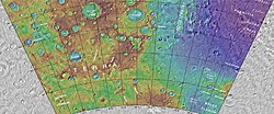 Topographical map showing location of Kaiser Crater and other nearby craters
 -
 Viking Orbiter image of Kaiser
 -
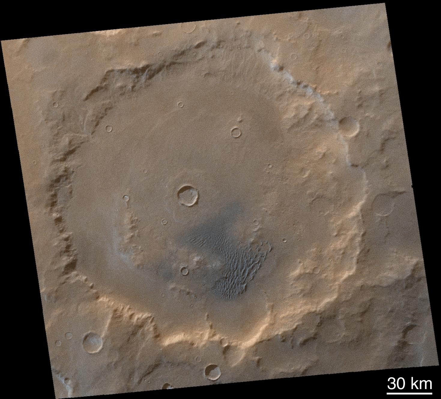
 Kaiser (large crater in upper part of image); context for THEMIS image.
 -
 Detail of south wall of Kaiser, daytime infrared, imaged by the Thermal Emission Imaging System on board the 2001 Mars Odyssey orbiter.
 -
 Digital terrain model of a barchan dune in Kaiser showing slip face avalanche features.


See also
References
- ^ "Kaiser (Martian crater)". Gazetteer of Planetary Nomenclature. USGS Astrogeology Research Program.
- ^ Reiss, D, R. Jaumann. 2003. Recent debris flows on Mars: Seasonal observations of the Russell Crater dune field. Geophysical Research Letters: 30, 1321.
- ^ Active Dune Gullies in Kaiser Crater, HiRISE Science Team (1 April 2012)
External links
 Media related to Kaiser (Martian crater) at Wikimedia Commons
- Kaiser Crater (direct link)
- High resolution video by Seán Doran of overflight of a small crater within Kaiser
This article about an impact crater on Mars or its moons is a stub. You can help Wikipedia by expanding it. |