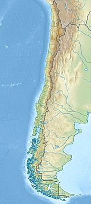
Michinmahuida
| Michinmahuida | |
|---|---|
Ultra | |
| Coordinates | 42°47′57″S 72°26′45″W / 42.79917°S 72.44583°W[1] |
| Geography | |
| Parent range | Andes |
| Geology | |
| Mountain type | Stratovolcano |
| Last eruption | February to March 1835 |
Michinmahuida (Spanish pronunciation: Pumalín Park. It has a summit elevation of 2,450 meters above sea level.
See also
- List of volcanoes in Chile
- Chaitén
- Chaitén (volcano)
- List of Ultras of South America
References
- ^ a b c "Argentina and Chile, Southern: Patagonia Ultra-Prominences" Peaklist.org. Retrieved 2012-04-16.
- ^ "Minchinmavida and Chaiten Volcanoes, Chile". 9 March 2009.
Sources
- "Michinmahuida". Global Volcanism Program. Smithsonian Institution.
- "Volcán Minchinmavida, Chile" on Peakbagger
- "South American Summits Ranked by Re-ascent"

