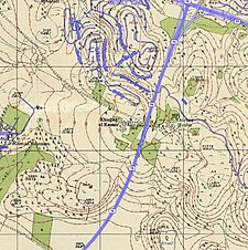
Khirbat Al-Kasayir
Al-Kasayir
خربة الكساير | ||
|---|---|---|
A series of historical maps of the area around Khirbat Al-Kasayir (click the buttons) | ||
Geopolitical entity Mandatory Palestine | | |
| Subdistrict | Haifa | |
| Date of depopulation | mid-April, 1948[1] | |
| Population (1945) | ||
| • Total | 290 | |
| Cause(s) of depopulation | Military assault by Yishuv forces | |
Al-Kasayir (
1947–48 Civil War in Mandatory Palestine on April 16, 1948, under the Battle of Mishmar HaEmek
.
History
In the
References
- ^ Morris, 2004, p. xvii, village #383. Also gives cause of depopulation.
- ^ Government of Palestine, Department of Statistics, 1945, p. 15
- ^ Government of Palestine, Department of Statistics. Village Statistics, April, 1945. Quoted in Hadawi, 1970, p. 49
- ^ Government of Palestine, Department of Statistics. Village Statistics, April, 1945. Quoted in Hadawi, 1970, p. 92
- ^ Government of Palestine, Department of Statistics. Village Statistics, April, 1945. Quoted in Hadawi, 1970, p. 142
Bibliography
- Government of Palestine, Department of Statistics (1945). Village Statistics, April, 1945.
- Hadawi, S. (1970). Village Statistics of 1945: A Classification of Land and Area ownership in Palestine. Palestine Liberation Organization Research Center.
- ISBN 0-88728-224-5.
- ISBN 978-0-521-00967-6.
External links
- Welcome To al-Kasayir, Khirbat
- Khirbat al-Kasair, Zochrot
- Survey of Western Palestine, Map 5: IAA, Wikimedia commons


